
Home Contact
Walmart Search Quora Accuweather
Book: Place Names of the Ojibwe In Future Codes
Babb, Montana
One of several settlements which are a part of Blackfeet Reservation, Babb has a population of 174 according to 2010's census. Links to google earth photos of Bab and a link to a map of Babb's zip code area 59411 are below. Native Americans (147 or 85%) including mixed bloods (6 or 3%), make up 88% of Babb's population. Whites make up 12% of it's population or 21. Babb covers 9.5 sq. mi. Elevation is 4,524 feet above sea level. Babb has up to 80 occupied housing units which gives this Ojibway community an average housing unit size of near 2.5 persons per housing unit. Chief Rocky Boy fled to Babb in June 1885 or during 1885's Northwest Rebellion. 2010 population of Babb's zip code area, is 460. Indians account for 325 of it's population of 460. Whites account for 144. Asians account for 5. Mexicans account for 4. Blacks account for 3. Zip code area 59411 covers 246.0 sq. mi. or 637.1 sq. km. and includes Babb, Duck Lake, Peigan Crossing (border station), and St. Mary. It (Babb's zip code area) could be chief Rocky Boy's Reservation. However, it has to extend east to forks of Milk River. And St. Mary's River to Canada, may be a boundary. Much of Babb is located on Trust Land and Fee Land which is not good. Housing units located along Red Rock Road (there are 17 of them), are on Fee Land. Between Windy Hill Road and just north of Road 18227, buildings are located on Trust Land. What makes this a predicament is Trust Land is land owned by Blackfeet Reservation which means it can't be taxed. Fee Land is land that is subject to city, County and Federal taxes and can be sold to non Indians. It needs to be resolved or Fee Land must be returned to Blackfeet Reservation ownership.
History of Babb includes a well known forced relocation of Ojibway's led by chief Rocky Boy, to Blackfeet Reservation, in November of 1909. Ojibway's were set aside a Reservation between Forks of St. Mary River (Babb is 7.5 miles or 12.1 kilometers north of St. Mary's River Fork and 19.0 miles or 30.6 kilometers west of North Fork of Milk River) and forks of Milk River. Chief Rocky Boy probably negotiated an agreement in which St. Mary's Rivers Fork and North Fork of Milk River, which is 19.0 miles east of Babb, and Browning wich is 20.5 miles or 33.0 kilometers, became boundaries. It's well known that chief Rocky Boy's Reservation commenced 20 miles north of Browning where Milk Rivers Forks are located. Finding his Reservation is a bit difficult yet we know Forks of St. Mary's River and Milk River, are involved.
Map of Bab's Zip Code Area 59411
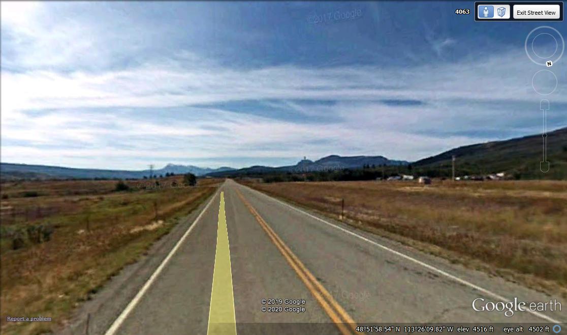
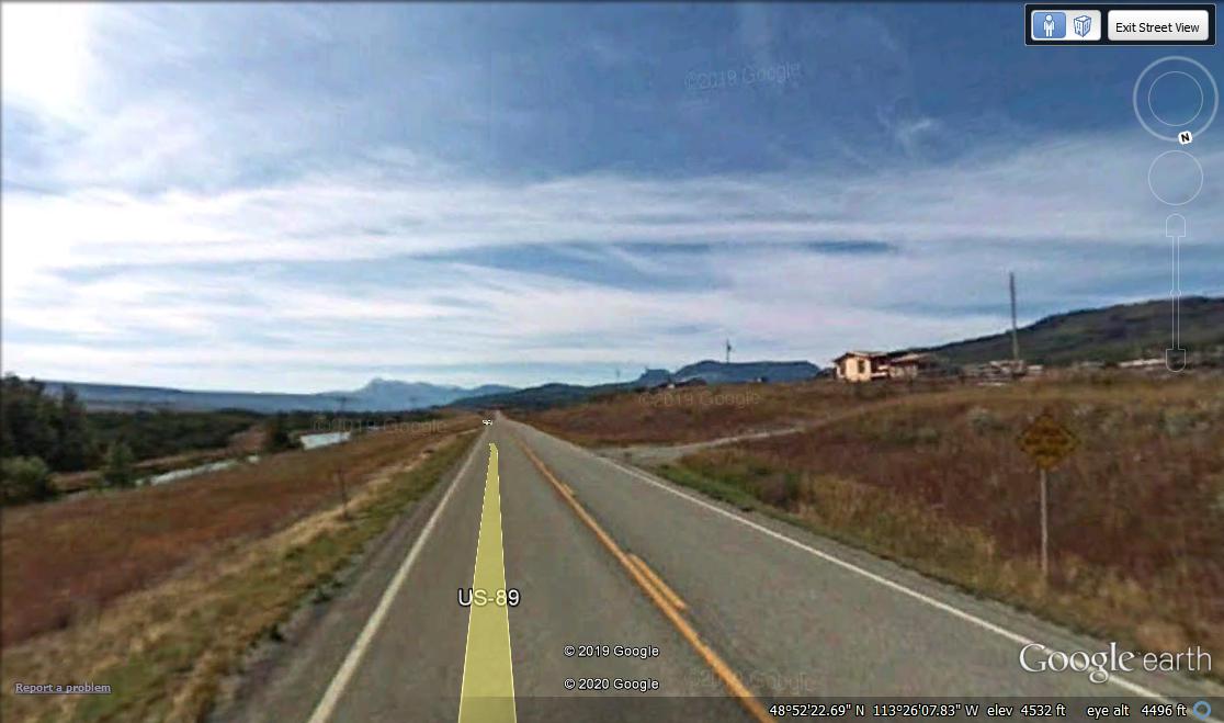
Babb From Road
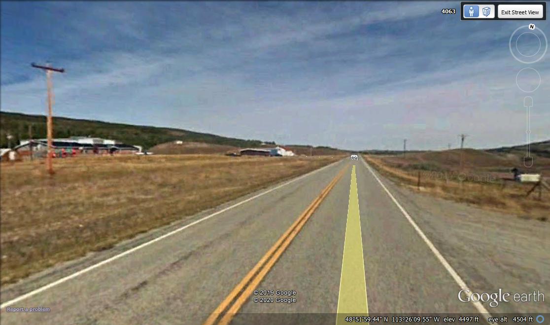
Babb From Road
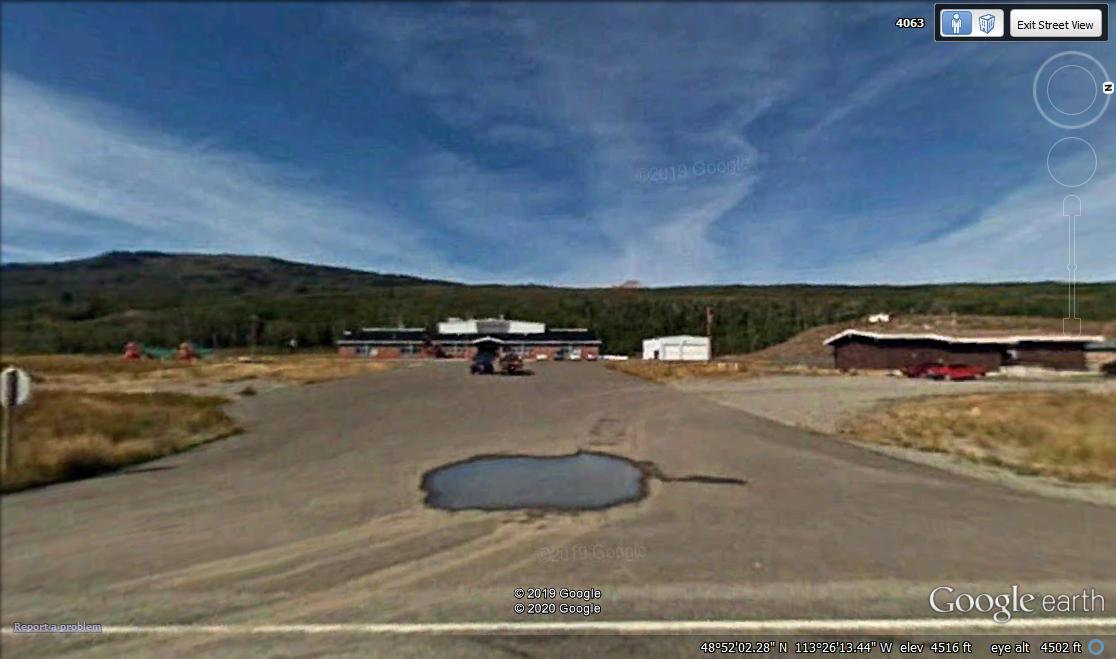
Babb From Road
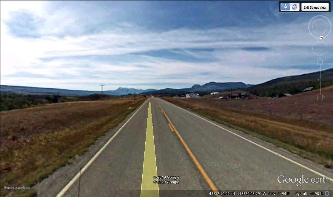
Babb From Road
Babb From Road
Babb From Road