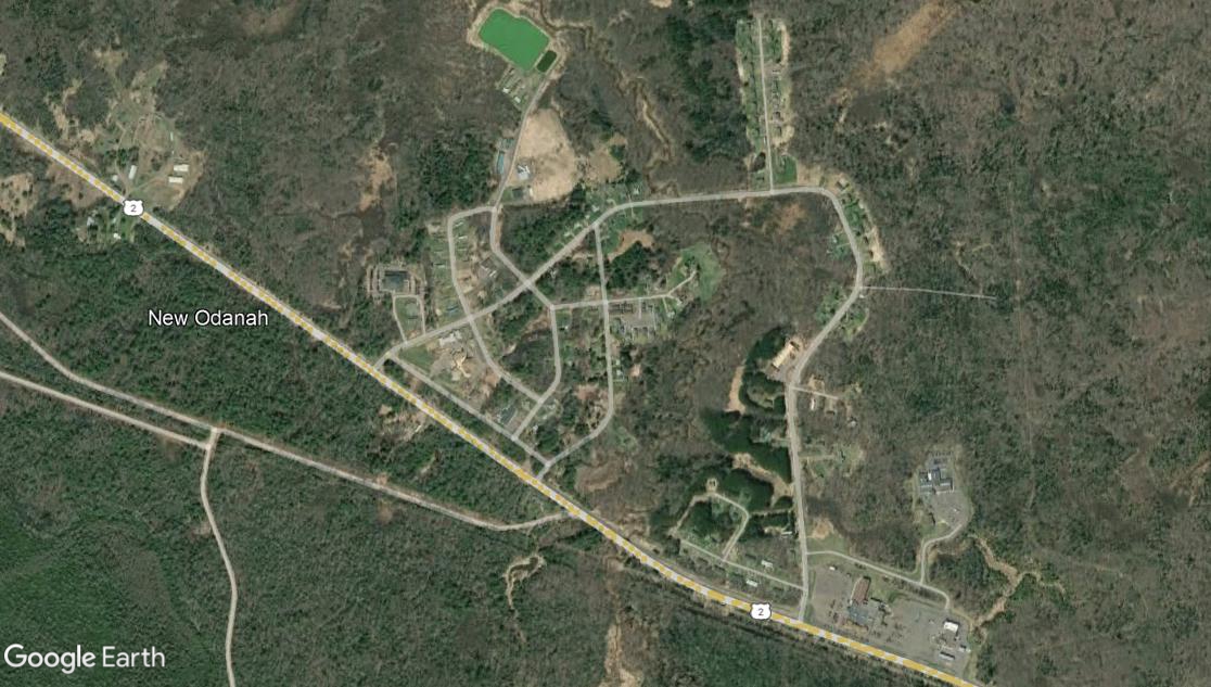
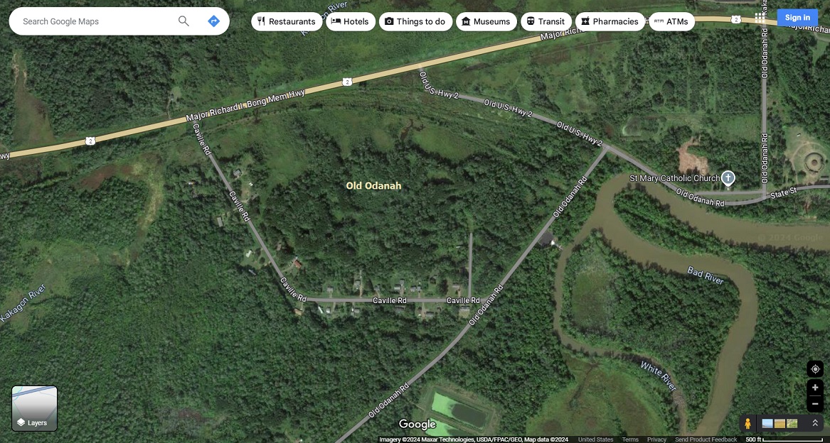
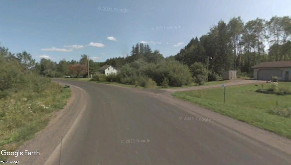
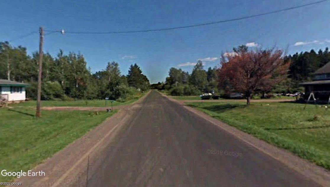
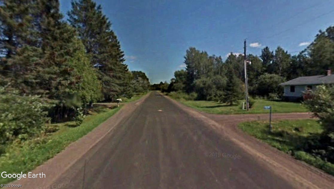
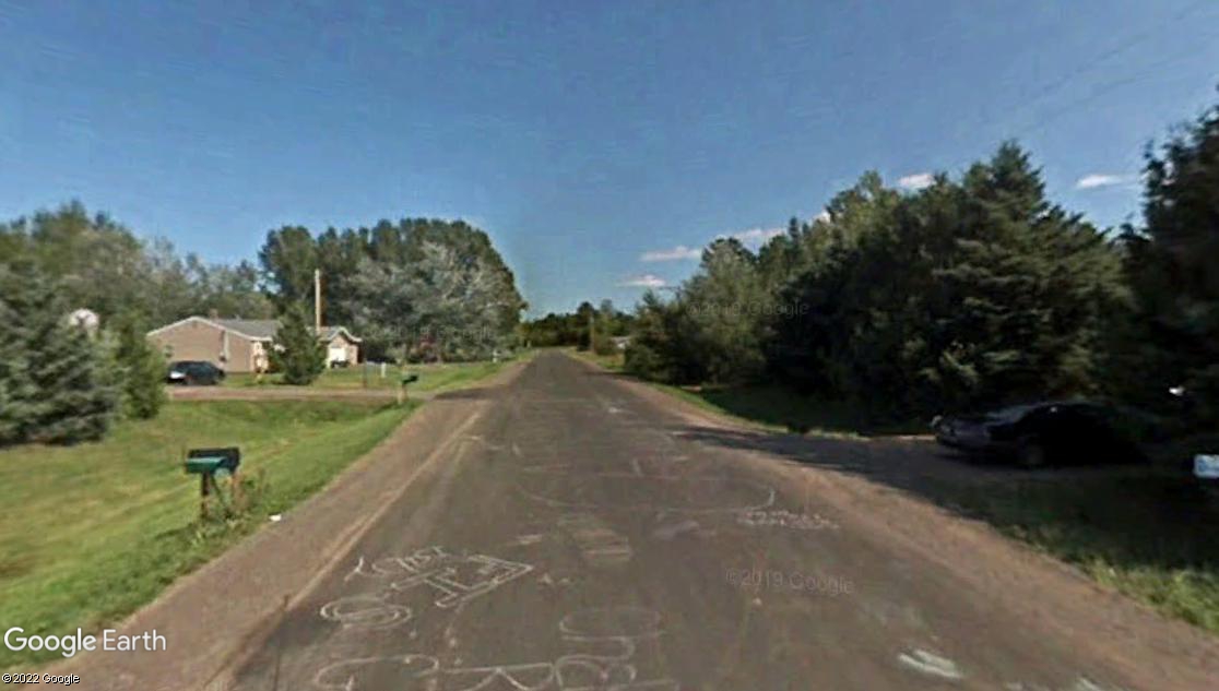
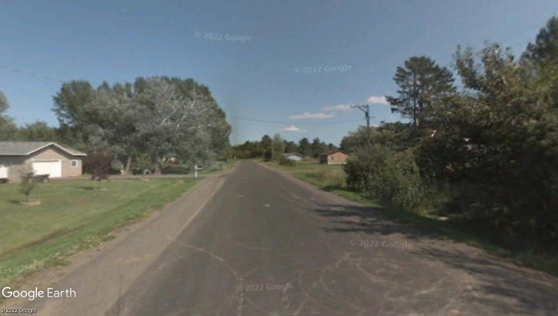
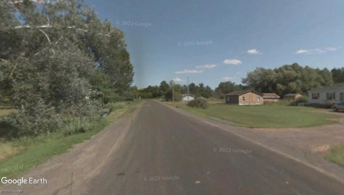
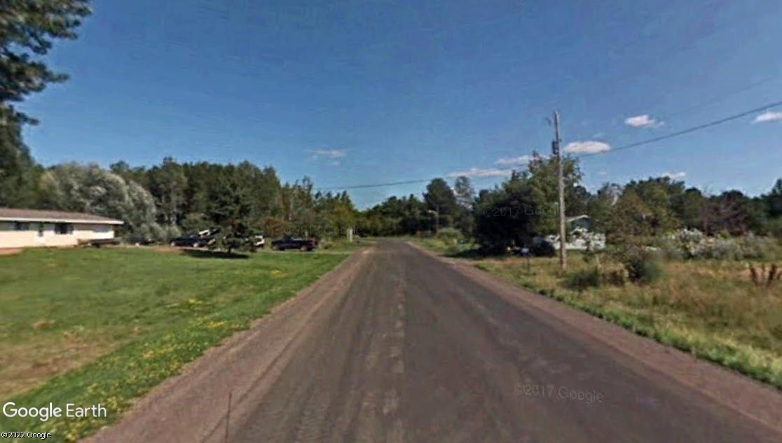
Located in far northern Wisconsin, just south of Lake Superior, is Bad River Reservation's CDP (census designated place) of Odanah which also goes by New Odanah. Below are several links to google earth photos of Bad River Reservation's CDP settlement of Odanah and Old Odanah or Diaperville which remains too close to Bad River! This Ojibway settlement has a troubled history. A flood in 1960, forced Reservation leaders to relocate many residents of Old Odanah to this New Odanah. They agreed they needed to relocate to higher ground, away from Bad River which is prone to flood now and then. New Odanah is not to be confused with the other village with the same name or Old Odanah, which is 1.8 miles or 2.9 kilometers to it's northwest. According to 2020's census, New Odanah has a population of 456. Native Americans make up 94.6% of the population. Mexicans 6.0%. Many Ojibwa's refusing to identify as native! Whites 3.9%. Mixed bloods 1.5%. Odanah has over 100 housing units. Elevation is 627 feet above sea level. Zip code is 54861. Old Odanah which is a CDP, has a population of 47 according to 2020's census. Housing units probably number over 30. Native Americans make up 89.4% of the population. Whites 6.4%. Mexicans 4.3%. Mixed bloods 4.3%. Population of Old Odanah is low because of Bad River which obtained it's name from it's frequent floods.
