These people are important to Ojibway People. Below are links to google earth photos of some of their communities. According to some Kootenai Indians, they originally lived in Michigan. These Ojibway People are evidence of an Ojibway Peoples migration from Great Lakes region to Alberta, British Columbia, Idaho, Montana, Oregon and Washington. And we know of at least one group of Ojibway People who migrated to western Montana. It occurred between 1812 and 1828 and possibly much earlier. White historians have gone to great lengths to corrupt this issue.
It is very important for Ojibway People to not accept what white historians have written about chief Ignace Paul the Elder and a group of Ojibway People he led to Bitterroot Valley of Montana. His real surname was Ojibway. It's Mons or Mos or Moos. He was a member of Ojibway Peoples Hunter Totem or Gaossed Dodim. This migration possibly happened much earlier than claimed. They claim chief Mos was an Iroquois who lived near Montreal which is a lie. He may have been born in Quebec yet lived in Michigan. Read Seven Fires Prophecy! After War of 1812, many Ojibway People from Great Lakes region, commenced a westward migration as told to do in Seven Fires Prophecy. They had actually commenced to retreat west much earlier. Chief Mos led a small group to Montana's Bitterroot Valley. Other Ojibway People followed including his son chief Moses (it's a diminutive meaning little and also younger). Chief Mos was apparently fond of Christianity. In 1835, he instructed two of his sons to visit St. Louis to request for white Christian Missionaries to be sent to Bitterroot Valley. He became impatient after no white Christian Missionaries paid visit to Bitterroot Valley. In 1837, he then organized another trip to St. Louis with three Flatheads and one Nez Perce, to again request that white Christian Missionaries be sent to Bitterroot Valley of Montana. Chief Mos did not go to St. Louis on both occasions. He was too old. In 1835, he was approaching 90 years of age. Unknown to chief Mos, was a group of Ojibway People who did not like what he was doing. They murdered those three Flatheads and one Nez Perce.
In 1839, chief Mos instructed his son chief Moses and another Kootenai Indians named Pierre Gaucher, to visit St. Louis again to request that white Christian Missionaries be sent to Bitterroot Valley of Montana. They were told a priest would be sent to Bitterroot Valley in 1840. To make certain, chief Moses stayed at St. Louis. In spring of 1840, chief Moses accompanied Father Pierre Jean De Smet to Bitterroot Valley of Montana. Thus, they helped whites invade Montana. Father De Smet stayed a short while then returned to St. Louis. He gathered supplies for establishing a mission and returned to Bitterroot Valley in 1841. After reaching Bitterroot Valley on September 24, 1841, Father De Smet went to work converting Ojibway's living in Bitterroot Valley. One was chief Mos. He was given a baptismal name of Paul. He became known as chief Ignace Paul the Elder. Most Paul's of Montana are descended from chief Mos. Their original surname is Mos and also Moses. They are not related to Paul's of Manitoba, Ontario and Quebec. Historical evidence proves it. However, they could be related to Paul's of Manitoba, Ontario and Quebec through Cuthbert Grant.
Chief Mos son, chief Moses, followed through with his fathers wish as mentioned, that white Christian Missionaries be sent to Bitterroot Valley. They arrived in 1840 and 1841. Chief Moses was born in late 18th century or early 19th century. In 1840s, he was not yet an important leader. That changed by 1850s. During time of treaty negotiations for July 16, 1855's Hell Gate Treaty, chief Igance Paul the Younger, may have signed that treaty. It's known that he helped Lieutenant John Mullan find a pass over Coeur d'Alene Mountains per treaty agreement, to expand an ancient Ojibway Road they named Mullan Road. Years before, white Christian Missionaries were driven out of Bitterroot Valley by Ojibway Soldiers. Ojibway leaders allowed Christian Missionaries to convert their people but they soon realized those white Christian Missionaries were really looking out for themselves. Chief Ignace Paul the Younger had a son named Aeneas Paul. He was supposedly born in 1828. However, he may have been chief Moses of Washington State.
Chief Moses of Washington State was a Kootenai Indians leader. He was not leader of Sinkiuse-Columbia Tribe. His surname is an authenticated Ojibway surname. He was supposedly born in Wisconsin in 1829. That could be correct. He never ceded Ojibway land in Washington State. They used terrorist threats against him to accept a Reservation known as Columbia Reservation which was adjacent to Colville-Spokan Reservation. After these Ojibway People known as Kootenai Indians settled down in western Montana, they merged with Ojibway People native of that region and non Algonquin Indian Tribes. They expanded westward into north Idaho then into Oregon and Washington. They also settled in Alberta and British Columbia. Although most Kootenai Indians accept their history whites have written for them, those Kootenai People who know about their migration from Michigan to Montana and Seven Fires prophecy, will accept being Ojibway.
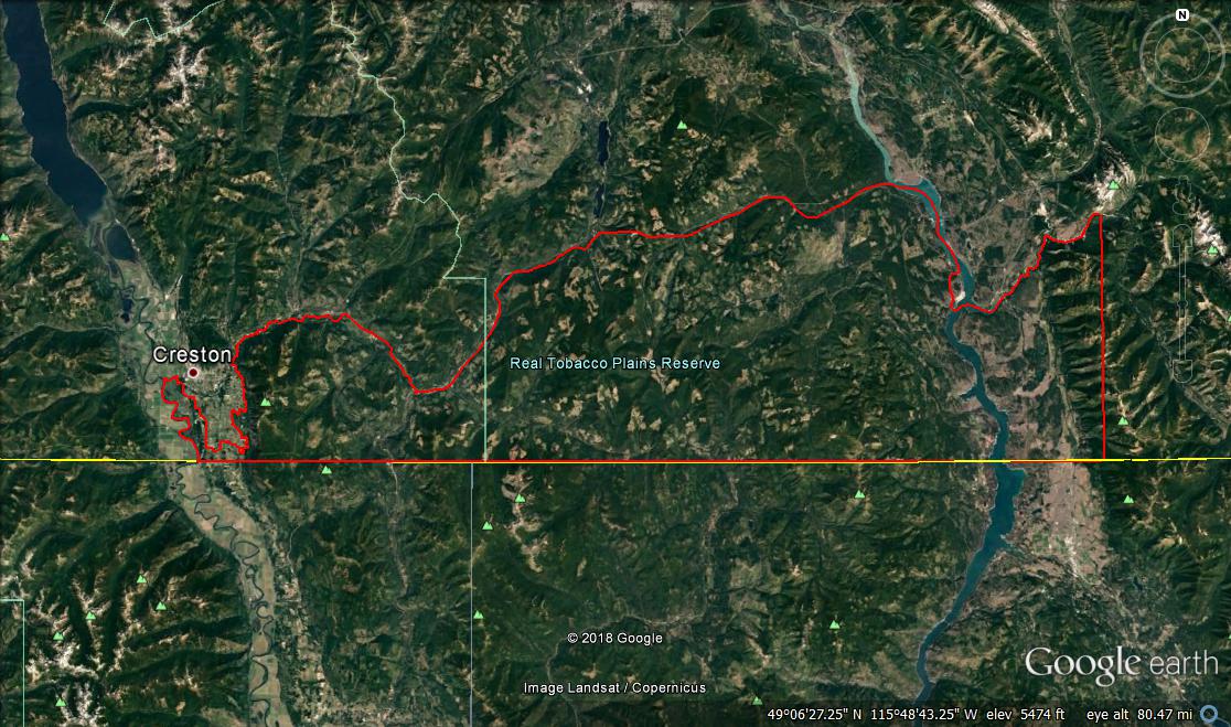
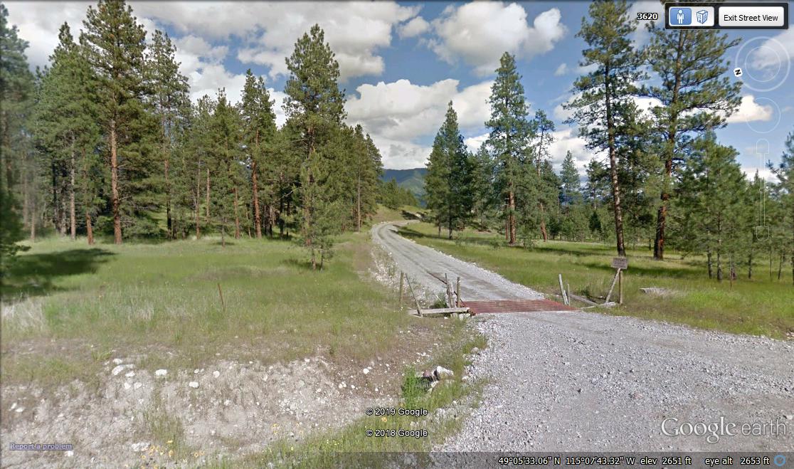
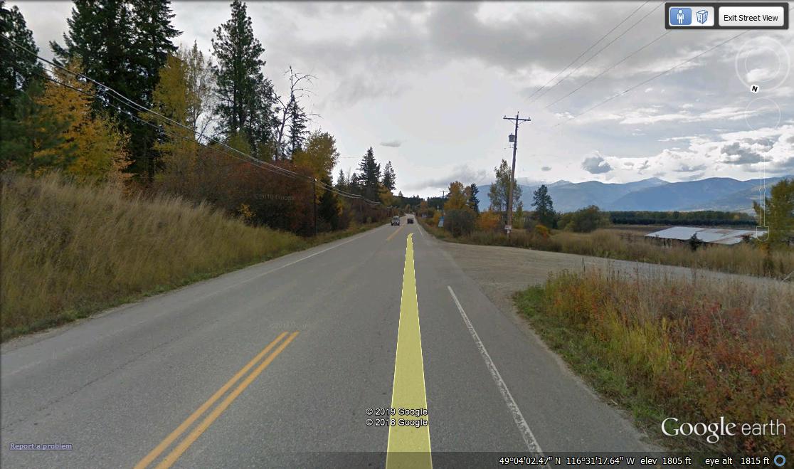
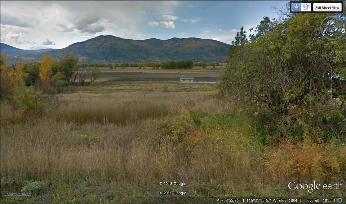
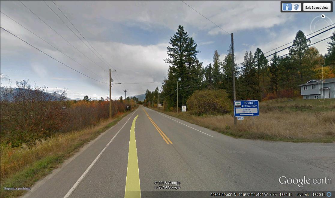
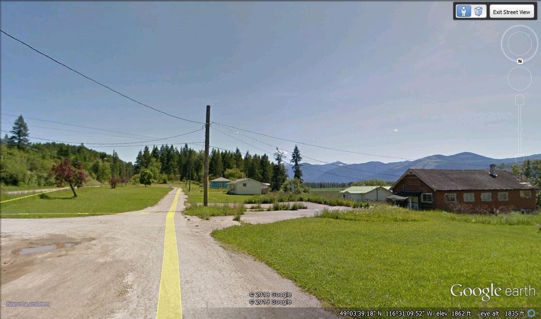
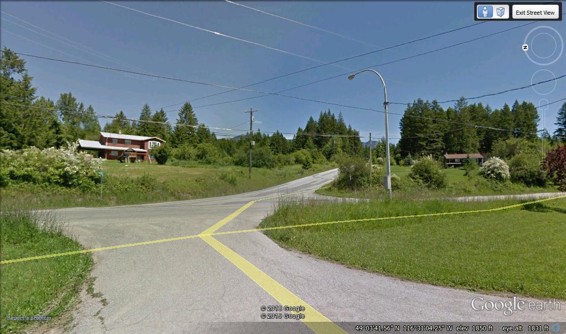
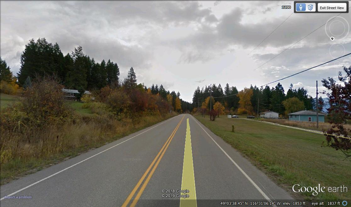
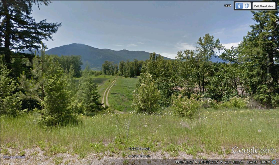
Tobacco Plains First Nation of British Columbia
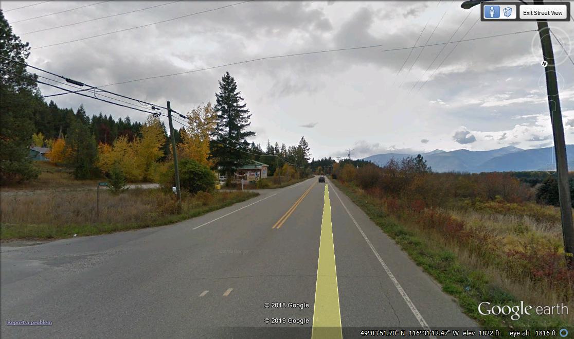
This Kootenai Indians Tobacco Plains Reserve is located in a beautiful mountain valley in southeastern British Columbia. It includes Lower Kootenai Reserve which is near Creston, British Columbia. Canada refused to create a large Reservation as Ojibway leaders demanded. It is adjacent to Montana. Their Reserve is 6.5 miles by 2.5 miles or small. It was created in 1884. In 1902, chief Rocky Boy sent scouts out to find land for his Ojibway Subjects. It was reported in newspapers, they liked Tobacco Plains. This Tobacco Plains Valley is located in British Columbia and Montana. It's well known that Canada accepted many Montana Ojibway's. In 1915, Canada took two parcels of land from Tobacco Plains Reserve. One for Rooseville. Another parcel of land was taken for a water pipeline and ditch to service Rooseville. Ojibway leaders considered one mile to be one league or three miles. Correct size of Tobacco Plains Reserve is 19.5 miles or 21.4 kilometers from north to south and 7.5 miles or 12.1 kilometers from west to east. It covers around 120 sq. mi. or 310.8 sq. km. It's really much larger and includes Lower Kootenai Reserve near Creston, British Columbia. Their on-Reserve population has increased little since 19th century. Their leaders don't care for them.
On-Reserve population is 67
Language is Corrupt
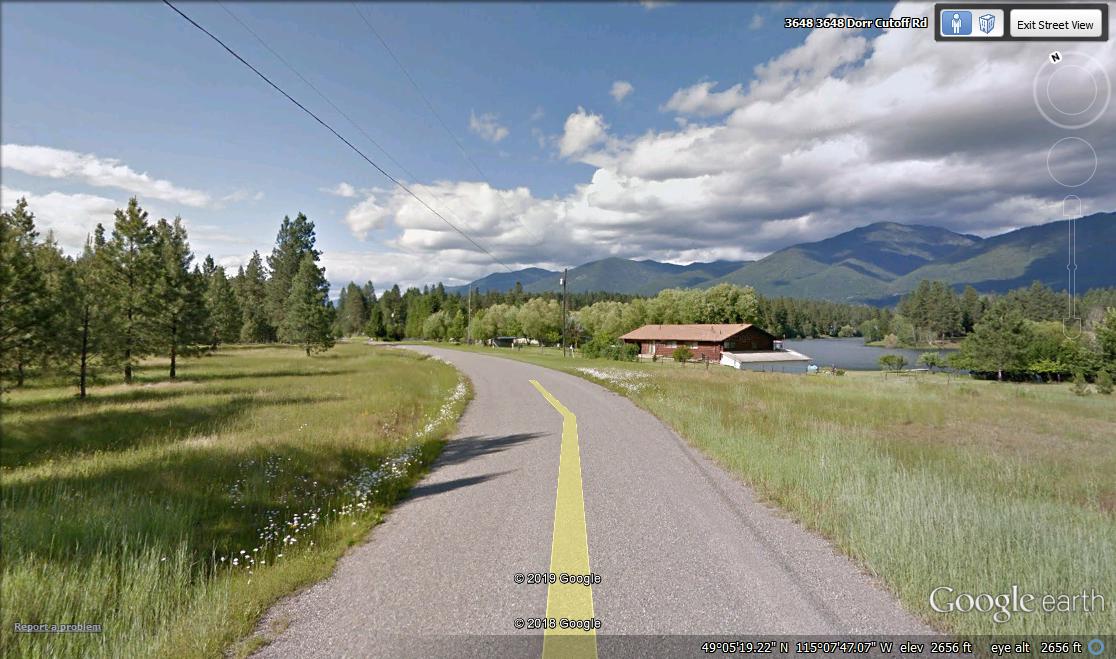
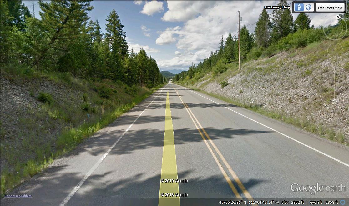
Tobacco Plains Road View
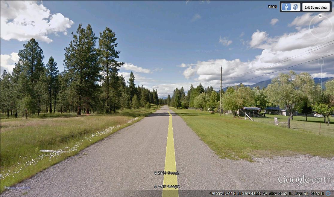
Tobacco Plains Road View
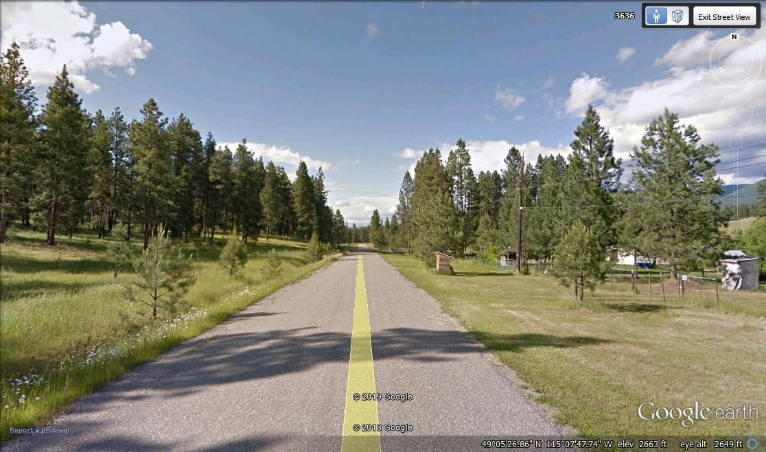
Tobacco Plains Road View
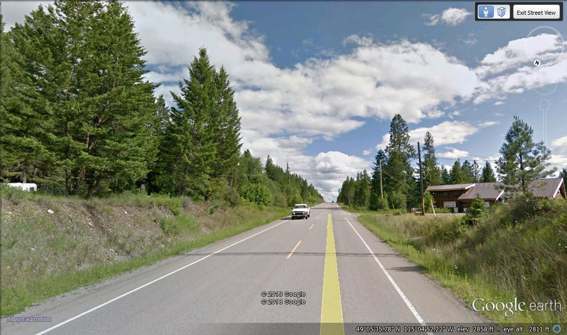
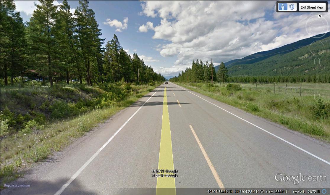
Tobacco Plains Roosville Road View
Tobacco Plains Roosville Road View
Tobacco Plains Roosville Road View
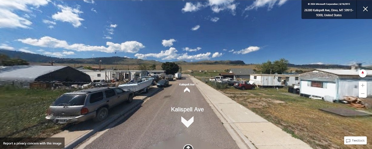
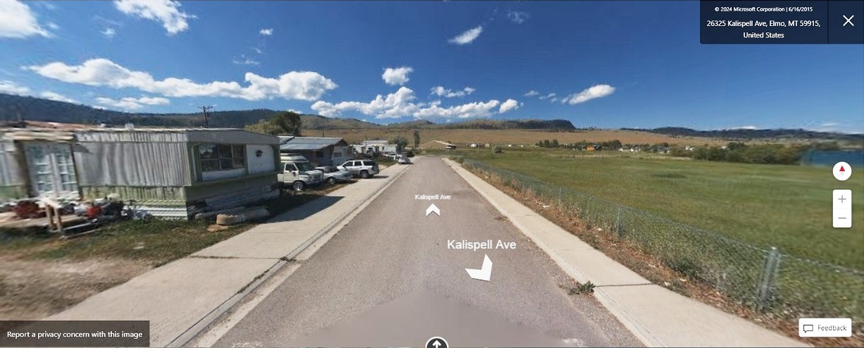
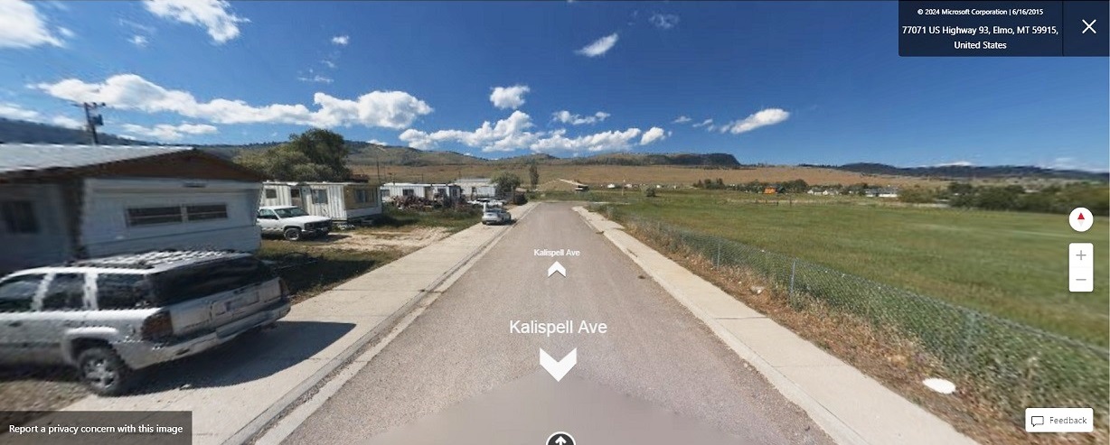
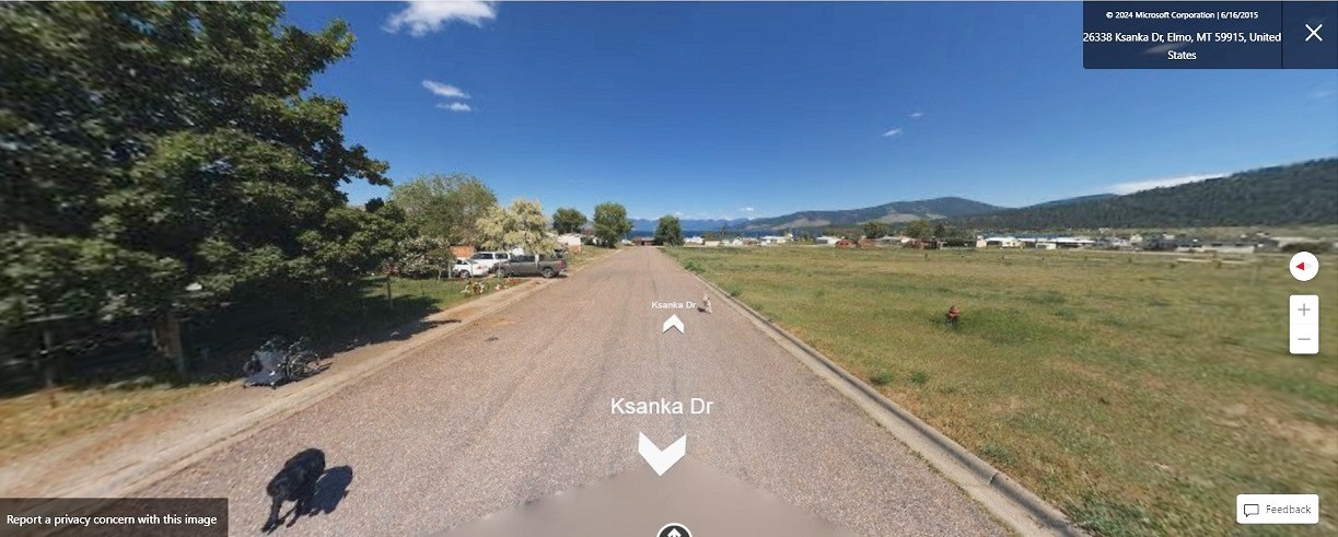
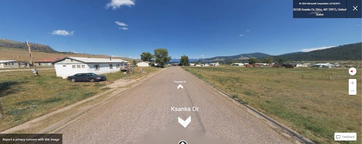
Flathead Reservation of Montana
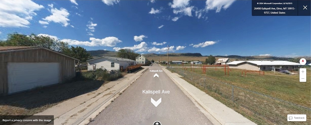
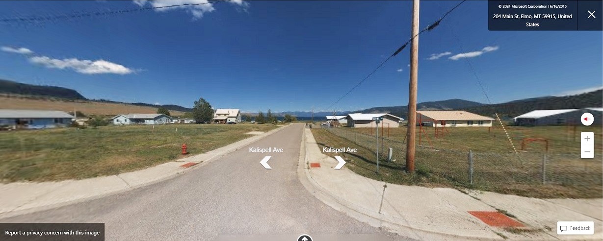
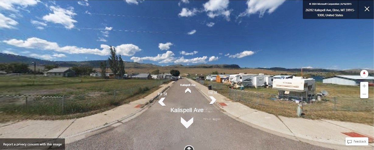
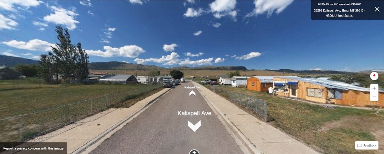
Elmo is primary Kootenai Indians town at Flathead Reservation. It is situated on western shores of Flathead Lake. However, we know Kootenai Tribe (aka Dayton Creek Kootenai) lived in Bitterroot Valley. Ojibway People were forced out of Bitterroot Valley in 1891. That obviously means Kootenai People live throughout Flathead Reservation. Below are links to google earth photos of Elmo.
Elmo Road View
Elmo Road View
Elmo Road View
Elmo Road View
Elmo Road View
Elmo Road View
Elmo Road View
Elmo Road View
Elmo Road View
Population is 6,999
Language is Corrupt
Lower Kootenai First Nation of British Columbia - it is near Creston
This Kootenai Reserve settlement is located in southeastern British Columbia, near Creston. They are being forced to assimilate by Canada. Ojibway leaders demanded a large Reservation yet Canada refused to create a large Reservation for them. Ojibway leaders would not have accepted this area because it has farmland. They wanted land whites didn't. Total area is 3,246.3 hectares or 8,000 acres. Ojibway leaders considered one mile to be one league or three miles. This Reserve covers 9,738 hectares or 24,000 acres. It's actually much larger and is one of chief Rocky Boy's many Reservations and Reserves. It's a part of Tobacco Plains Reserve. Their on-Reserve population has increased little since 19th century. Their leaders don't care for them.
On-Reserve population is 111
Language is Corrupt
Lower Kootenai Road View
Lower Kootenai Road View
Lower Kootenai Road View
Lower Kootenai Road View
Lower Kootenai Road View
Lower Kootenai Road View
Lower Kootenai Road View
Akisqnuk First Nation of British Columbia - it is near Windermere
This Kootenai Reserve settlement is located in a beautiful mountain valley in southeastern British Columbia. It is located around 110 miles north of northwestern Montana. They are being forced to assimilate by Canada. Ojibway leaders demanded a large Reservation yet Canada refused to create a large Reservation for them. Their on-Reserve population has increased little since 19th century. Their leaders don't care for them.
On-Reserve population is 90
Language is Corrupt
St. Mary's First Nation of British Columbia - it is near Cranbrook
This Kootenai settlement is located near Cranbrook, British Columbia which is about 40 miles north of Montana. They are being forced to assimilate by Canada. Ojibway leaders demanded a large Reservation yet Canada refused to create a large Reservation for them. Their on-Reserve population has increased little since 19th century. Their leaders don't care for them.
On-Reserve population is 192
Language is Corrupt
Kootenay Reservation of Idaho
It is located in extreme northern Idaho, just north of Bonners Ferry, Idaho, and a few miles from British Columbia. It is another Kootenai settlement in one of many beautiful mountain valleys that are found throughout Kootenay country. This Reservation was not established until 1974. Funny thing about these people of Idaho's Kootenai Tribe, is their oral history about their ancestors not ceding their land.
Population is 164
Language is Corrupt